Cloud Types
Low Level Clouds Stratus
Stratus is a low level cloud found between 0ft and 6500ft. More commonly observed as fog or Hill fog. They tend to be grey in colour and may be accompanied by Drizzle, Snow or Snow grains. If aren’t any clouds above the layer the sun may shine through them. At times they can form a layer of cloud that fills a valley while leaving hilltops clear and in the sunshine.

Cumulus nimbus
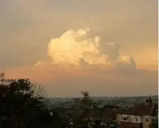
Cumulonimbus Clouds or more commonly known as Thunder Clouds. These are towering dense clouds which have flat dark bases and can create impressive anvils. They associated with Thunderstorms, Torrential rain, Strong down drafts, Hail storms and Tornadoes. The typical cloud level for these clouds is 1100ft to 6500ft
Cumulus Clouds, Fair Weather Clouds
Cumulus clouds often know as fair weather clouds are white fluffy cauliflower clouds and the base tends to be dark. Fair weather tends to be a bit of misnomer because if the clouds get larger they can cause showers and even eventually develop into Cumulus nimbus. These clouds tends to be around 1200ft to 6500ft

Stratus Cumulus
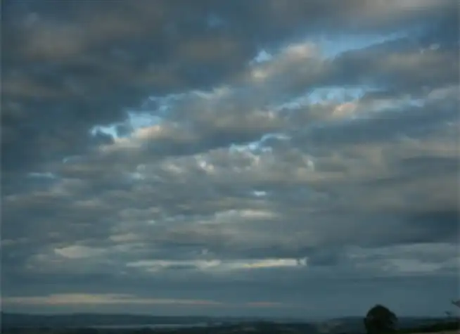
Stratocumulus are low level clouds in patches or Clumps. They normally have wealth defined bases with some parts darker than others. They can occur in all weathers from dry to wet conditions. Normal you’ll find them between 1200ft to 6500ft
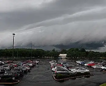
Shelf Clouds
Shelf clouds can be found when Thunderstorms produce a strong cold downdraft ahead of themselves. This also known as a gust front and often produce strong winds on the surface and a rapid temperature drop. Shelf clouds tend to cover the entire horizon.
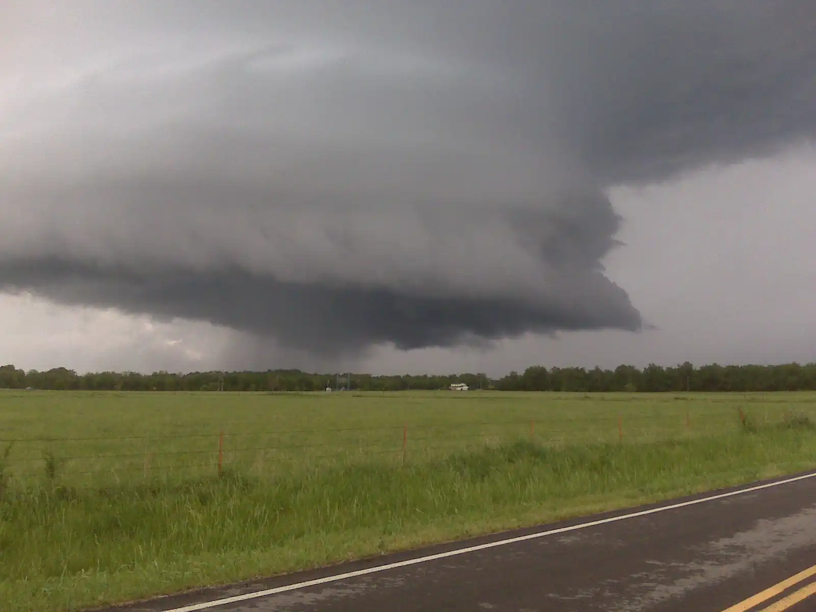
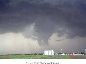
Wall Clouds
Wall clouds are created by a process called entrainment, when an inflow of warm moist air rises and converges. This overpowers the wet rain-cooled air from the normally downwind downdraught. As warm air continues to entrain the cooler air, the air temperatures drops as while the dew point rises. As the air continues to rise it becomes saturated forming cloud condensation. This is seen as a wall cloud. Wall clouds form in the inflow region. This in the rear of a Super cell near the main updraught.
Scud or Fractus Clouds
Scud or Fractus clouds are detached cloud formations found most often by the base of a Cumulonimbus cloud. This is due the condensation of water vapor associated with large amounts of moisture in the outflow region of the storm cloud. Sometimes they form into a wall cloud as it rises and moved toward the inflow region of the Thunderstorm.
Mammatus Clouds
Mammatus, meaning mammary cloud, is a cellular pattern of of pouches found hanging from the underneath of Cumulonimbus cloud. They may also be observed attached to the bases of other types of cloud. They are formed by Turbulence within the cumulonimbus on the underside of the anvil as it descends to lower levels. In effect a reverse of the normal cloud building process.
